![]()
![]()
![]()
![]()
![]()
![]()
![]()
![]()
![]()
![]()
![]()
![]()
![]()

![]()
![]()
![]()

![]()

Utah Weather/Webcams
Utah is a beautiful state with scenery that varies from place to place, So to show off this beauty we have complied these camera views, these are Weather cams, traffic cams and other various cameras from private individuals and groups.
ENJOY!!!!!!!!!!!!!!!!!
NOTE: No copyright infringement is intended by the placement of these images on this page, the purpose of this page is just to show off Utah's beauty
Northern Utah Radar

This is the Northern Utah Radar loop from NWS
SPANISH FORK

Spanish Fork, Intersection of Main Street and I-15 1 (Direction: Varies)

Spanish Fork, Intersection of Main Street and I-15 2 (Direction: Varies)

Spanish Fork, Intersection of I-15 and Highway 6 (Direction: Varies)

Spanish Fork, Intersection of 800 North and Highway 6 (Direction: Varies)

Spanish Fork, Intersection of Center Street and Highway 6 (Direction: Varies)

Spanish Fork, Intersection of 2550 East and Highway 6 (Direction: Varies)

Spanish Fork, Intersection of 3450 East and Highway 6 (Direction: Varies)

Spanish Fork, 300 North and Interstate 15 (Direction: Varies)

2700 North Spanish Fork/1600 South Springville and Interstate 15 (Direction: Varies)
UTAH COUNTY

Springville, Intersection of I-15 and SR-77 (Direction: Varies)

Springville, Intersection of Main Street and 400 S (SR-77) (Direction: Varies)

Springville, Intersection of I-15 and SR-75 (Direction: Varies)

Springville, Intersection of I-15 and SR-75 (Direction: Varies)

Provo, Interstate 15 University Ave. (Direction: Varies)

Provo, BYU Campus (Direction: North)

Orem, I-15, University Parkway (Direction: Varies)

![]()
Eureka, Highway 6 East of town (Direction: North East)

Billies Mountain, Highway 6, Near Thistle (Direction: Varies)

Thistle, Highway 6 and Highway 89 (Direction: Varies)

Highway 6 at Sheeps Creek (Direction: Unknown)

Highway 6 at Sky View (Tie Fork Rest Stop) (Direction: Unknown)

Highway 6 at Soldier Summit (Direction: Varies)

Highway 6 at Colton Shed, Mile Marker 217 (Direction: Varies)

Sandy (Direction: West)

Red Butte Garden (Direction: North)
Tooele

Tooele (Direction: East)
Heber City

Intersection of Main St. US40 @ US189 1200 S (Direction: Varies)

Heber Airport (Direction: South West)

Heber Airport (Direction: North)
Western Utah

Lake Point, (Near Tooele) (Direction: Varies)
Northern Utah
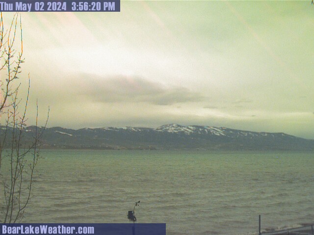
Bear Lake (Direction: Varies)

Skyline Dr. Hwy 31 (Direction: North West)

Fairview (East of Town) (Direction: West)
EASTERN UTAH

Vernal (Direction: East)

Flaming Gorge (Direction: Unknown)
SOUTHERN UTAH
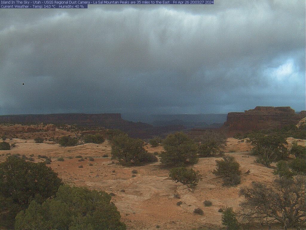
Island In The Sky, Canyonlands N. P. (Direction: East)
North Six Shooter Peak (Direction: South South East)
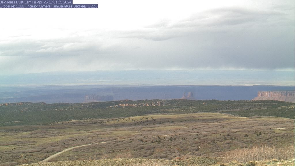
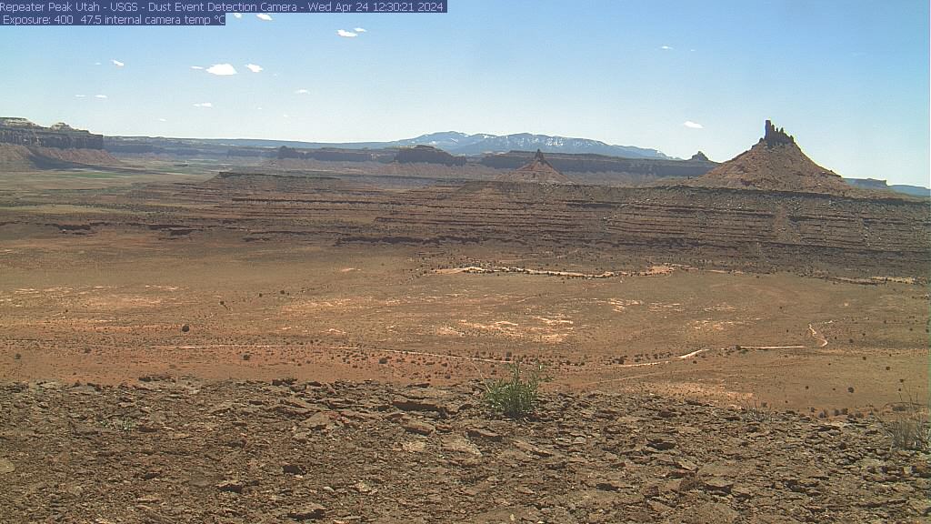
Bald Mesa (Direction: North North East)
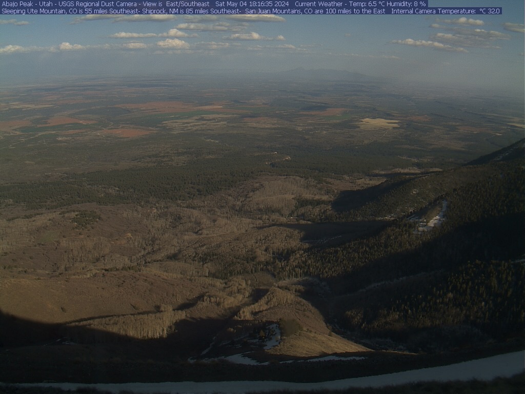
Monticello, Abajo Peak (Direction: East South East)

Springdale, Zion Canyon Theatre (Direction: Unknown)

St George, Intersection of I-15 and Bluff Street (Direction: Varies)

I-15 St. George at the Virgin River (Direction: Varies)

I-15 Utah/Arizona Border (Direction: Varies)
Page Last Edited
06/21/2023 02:54:26 PM
© Copyright 2002-2025, Mixutah.com. All Rights Reserved.